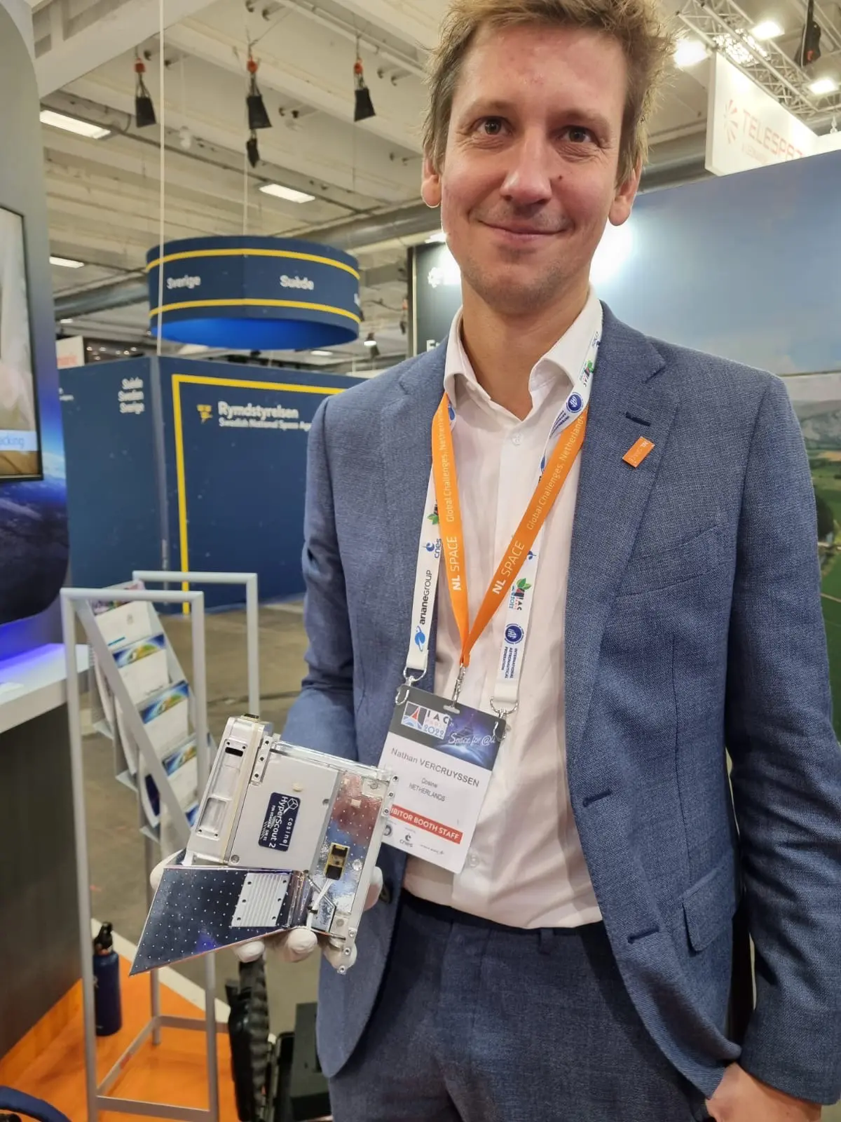
SmartSat Cooperative Research Centre (CRC) and cosine today announced that the hyperspectral imaging camera, HyperScout 2 Flight Model instrument, will be onboard the South Australia state satellite and is now ready to be integrated into the spacecraft.
HyperScout 2 will be launched into space on board the satellite Kanyini, a 6U CubeSat, as part of the SA Space Services Mission and will provide critical data to government and non-government agencies. The launch of the satellite is part of the South Australia Space Sector Strategy 2030 and is Australia’s first state-based satellite.
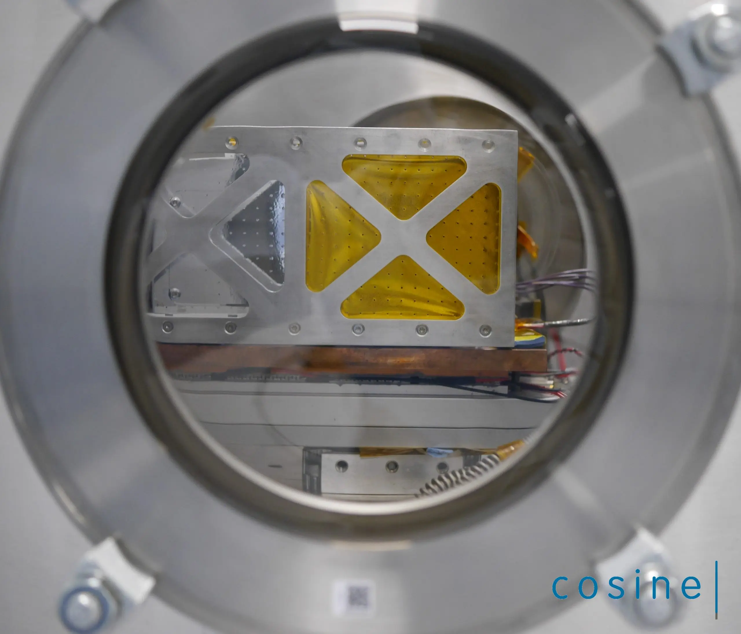
The HyperScout 2 is a three-in-one instrument that combines hyperspectral and thermal imaging with high-level data processing and Artificial Intelligence (AI) capabilities. It provides hyperspectral imaging in the visible and near-infrared to analyze the composition of the Earth, along with three thermal infrared bands to retrieve the temperature distribution, boosting and improving the number of Earth Observation applications cosine’s customers can benefit from.
The South Australian Government is investing $6.5M in the SA Space Services Mission. The SmartSat CRC is leading the mission and application prototyping, with Adelaide-based satellite manufacturing company Inovor Technologies designing and building the satellite and South Australian space company Myriota contracted for the Internet of Things (IoT) space services. Data collected from the project is intended to support informed decision-making in the areas of water usage, climate policy and disaster management.
Peter Nikoloff, Kanyini Mission Director at SmartSat, explains: “We needed a compact imaging payload that gave us a nuanced Earth view. The spectral range of HyperScout 2 enables an extremely detailed analysis of land cover, supporting research into crop health, forests, inland water and coasts. The thermal infrared imager will provide vital information on heat generators in South Australia. In parallel with the development phase, SmartSat is formulating a research program with our partners to make optimal use of the systems once in orbit.”
Dr Marco Esposito, managing director at cosine Remote Sensing, adds: “We have completed all the necessary activities for the delivery of the HyperScout Flight Model, and we now look forward to supporting our customer during the next project steps. We are proud to provide the core sensing device for this top-level Australian mission”.
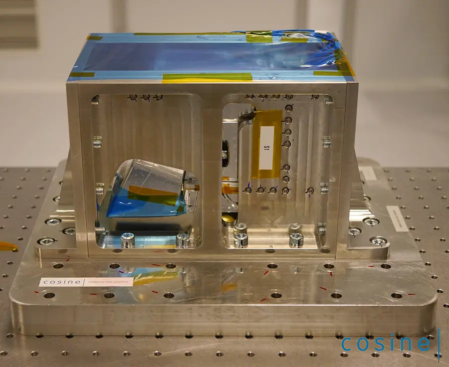
cosine made several design changes to HyperScout 2 at the beginning of the project, in order to adapt the instrument to the reduced dimensions and volume available on the Kanyini satellite. The efforts of the team of experts at cosine made it possible to perform all the necessary design changes, as well as to assemble the instrument, characterize its performance and test its resistance to environmental conditions in just 8 months. cosine delivered the Engineering Model to SmartSat within 3 months of project kick-off. Now the Proto-Flight Model is ready for the final integration at spacecraft level.
SmartSat CRC has investigated the feasibility of utilizing Kanyini’s hyperspectral data for crop classification as part of the UK/AUS Space Bridge collaboration for the research project Advancing remote sensing benefits to agriculture through hyperspectral processing. Other research groups are considering applications of the AI module of the HyperScout 2 onboard Kanyini for bushfire smoke detection, monitoring water quality and advanced analytics for defence and security.