NASA has launched its Disaster Response Coordination System (DRCS) on June 14, 2024 (AEST). The space agency says the DRCS will provide quick and actionable assistance based on Earth observation science to assist organisations actively responding to disasters.
“In addition to being a space agency and an aeronautics research agency, NASA is also a climate agency,” Administrator Bill Nelson said at the launch event in Washington. “That’s because of all the instruments we have out there and observing Earth for the last sixty years.”
The DRCS is a network of NASA science and data experts who can provide actionable information to support disaster responses through improved situational awareness, decision support, and insights into complex hazards. The DRCS is supported by Centre Response Coordinators and subject matter experts across six NASA centres, including the Ames Research Centre, Jet Propulsion Laboratory, Johnson Space Centre, Marshall Space Flight Centre, Langley Research Centre, and Goddard Space Flight Centre. The initiative is a core element of the Disasters Program within NASA’s Earth Science Division.
“We’re launching a structured and deliberative method to support our emergency management partners domestically and internationally by leveraging a wide range of capabilities across the NASA enterprise,” said DRCS Manager Joshua Barnes. “At the centre of the DRCS is a request-driven system that relies on connections with disaster response organisations to field real-world challenges.”
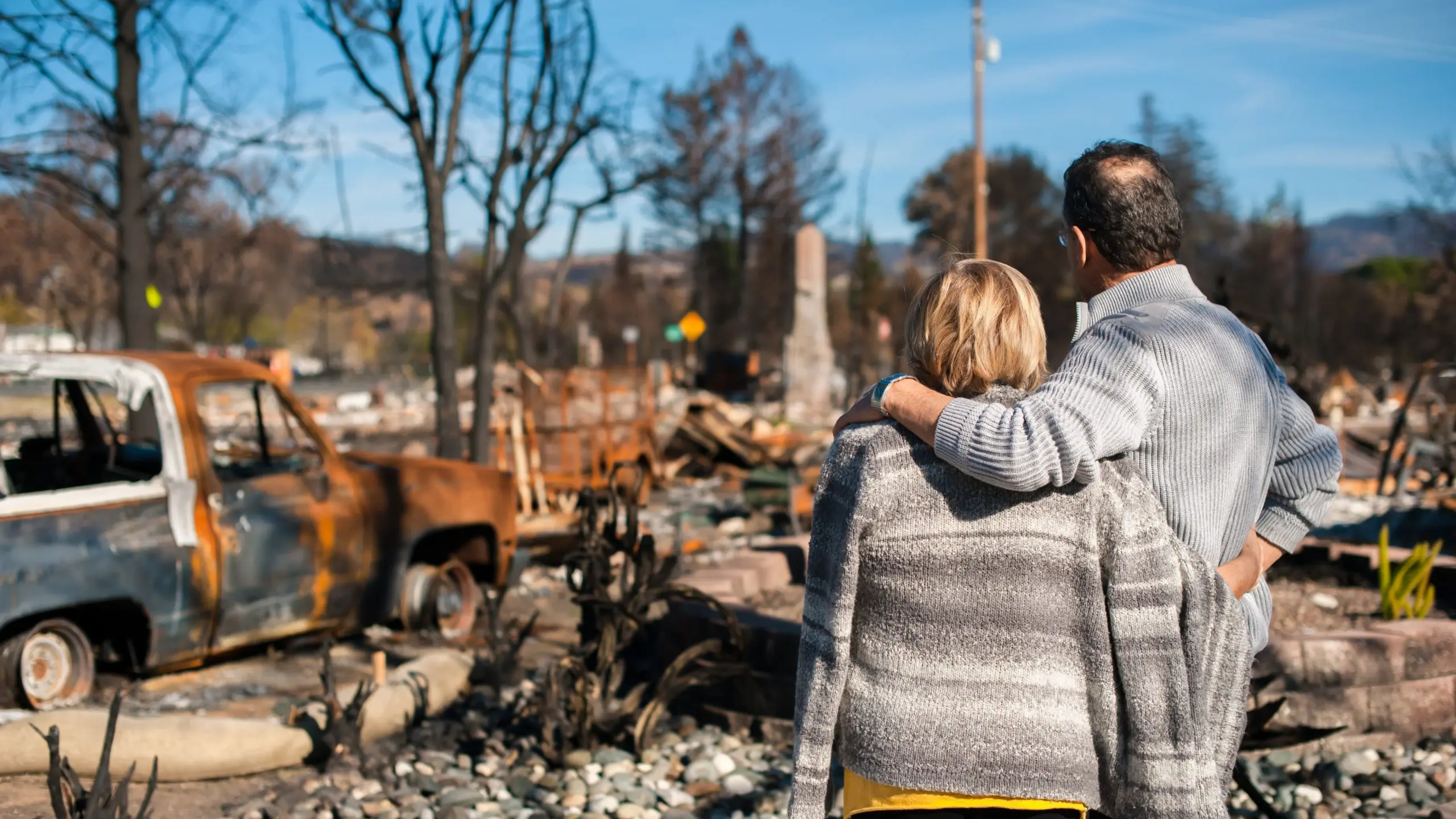
US Government data indicates the US alone experienced 28 weather and climate disasters in 2023, including winter storms, floods, cyclones, droughts, and wildfires. These events caused over USD93 billion in damage. Globally, the World Economic Forum says the cost of climate-related damage is USD16 million per hour, or USD2.8 trillion over the past two decades.
“NASA has access to some of the world’s foremost experts on hazards and a robust Earth observation system that provides insights into disaster impacts in areas that may be too large, or too inaccessible or remote,” said Barnes. “In Brazil recently, the DRCS helped local authorities try to understand the water depth in the flooding there, as well as its full extent. This helped the local decision-makers map their response. We can help bring insights into complex disaster challenges authorities may face. Authorities can use these insights to drive resource allocation decisions, take proactive actions, and support the staging of disaster relief services – all using Earth observation science.”
However, Barnes also acknowledges that NASA needs its partners to maximise the DRCS capabilities. He says domestic and international partnerships are fundamental to reducing economic losses from disasters and building the capacity of communities to deal with them.
“It’s a two-way process,” he said. “It’s not just discussion, but the cultivation of a shared understanding of what the disaster response community needs and what the science community can do to support those needs.” Barnes said the time to build those partnerships is during “blue sky periods” so that when disasters happen, NASA is positioned and able to provide the needed data.


