The Sunshine Coast is a regional powerhouse with the fundamental digital infrastructure to support a broad and deep technology-driven business ecosystem.
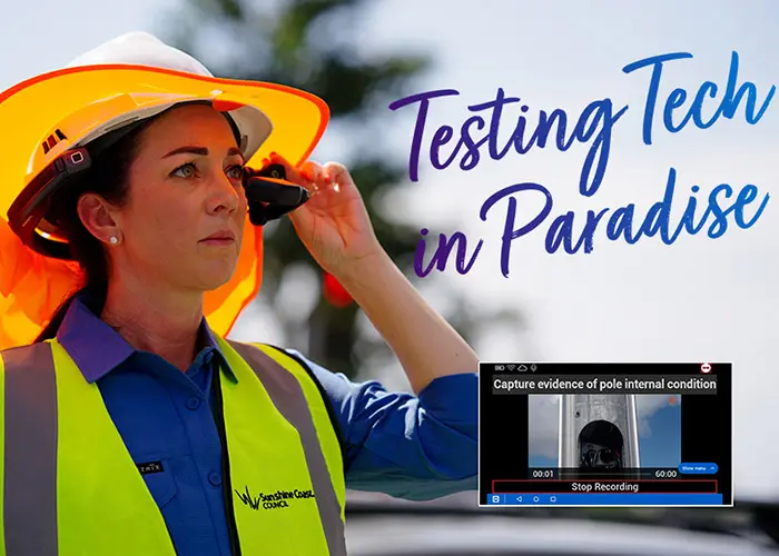
A recent event series, delivered under Sunshine Coast Council’s Testing Tech in Paradise program and in partnership with MySecurity Media, focused on the Sunshine Coast’s technical and critical infrastructure capabilities, which support business and industry in the smart cities, critical infrastructure, security and space sectors.
One of the technologies in the spotlight during the event series was geospatial technology, a field that uses data from satellites, drones and other sources to analyse and manage the Earth’s environments.
This technology has captured the attention of stakeholders on the Sunshine Coast for its far-reaching implications for sustainability, climate resilience, disaster management and urban planning, which are of particular importance to the region’s ecologically unique landscapes.
The Space to Sea accelerator program, led by UniSC Innovation and funded in partnership with the Sunshine Coast Council and Advance Queensland aims to find new and effective solutions to address increasingly complex environmental challenges.
We spoke with Jasmine Vreugdenburg, Director of UniSC Innovation and the program leader, to learn more about the initiative and its vision for the region.
What inspired the creation of the Space to Sea accelerator program?
The Sunshine Coast holds a unique position, both geographically and technologically. In June 2022, it was recognised as a UNESCO Biosphere Reserve, making it the fifth active biosphere reserve in Australia and linking the existing Noosa and Great Sandy biospheres along the southern Queensland coast. We also have a growing population which is bringing highly skilled engineers and spatial experts to complement our existing capabilities.
The future sustainability of this region and others like it requires solutions that tackle complex problems, such as the impact of climate change on our natural and built environments, disaster preparedness and resilience.
Space to Sea is designed to bring together experts in the field of geospatial sciences with entrepreneurs to build solutions that can solve these problems and that we can develop these new technologies right here on the Sunshine Coast.
How can geospatial technology be used for sustainability and environmental management?
Geospatial intelligence is crucial for monitoring and managing our natural resources. Through cutting-edge technology like space satellites, drones, ground-penetrating radar, fibre-optic distributed acoustic sensing and hyperspectral imaging, we can track changes in the environment, often in real-time.
These can be applied to monitor coastal erosion, measure soil and water quality, manage pest populations in agricultural areas and even track marine life, such as turtles, to assess ecosystem health. The technology has the potential to help us to respond proactively to environmental threats, enhancing both disaster preparedness and long-term resilience.
Why is the Sunshine Coast such a fertile ground for geospatial innovation?
We’re excited to be building an ecosystem that encourages the convergence of geospatial intelligence, AI, robotics and IoT. Not only do we have access to cutting-edge digital infrastructure, for instance the international broadband cable, NEXTDC SC1 Data Centre, Wi-Fi 6 networks, and multi-function poles, to name a few, but we also have a growing community of experts in geospatial technology. Our diverse landscapes make it the perfect testing ground for a range of applications.
What technologies can participants leverage through the program?
Hyperspectral satellite sensors, LiDaR, ground-penetrating radar, fibre-optic distributed acoustic sensing (DAS), sonar and many more technologies can be assimilated to enable optimum real-time observation and management of a vast array of geospatial elements in natural and built environments.
This program is a beacon for pioneers who are using geospatial intelligence with any combination of other technologies such as drones, robotics, AI and IOT to develop solutions across a range of industries, including infrastructure, minerals, blue economy, robotics, agriculture, environmental and coastal management.
Which organisations are supporting the Space to Sea program?
UniSC Innovation is bringing together a diverse group of industry experts to support early-stage startups with ideas for solutions that use geospatial intelligence to support a healthy planet.
By working with Sunshine Coast Council as well as Geospatial Intelligence Pty Ltd, SmartSat CRC, Fleet Space Technologies and the Queensland Fire and Emergency, participants can benefit from varied perspectives and guidance from experts in a range of industries.
We’re looking for more collaborators to contribute relevant environmental data to ensure solutions are developed to have the greatest impact.
What can participants expect from the program?
The Space to Sea accelerator is a six-month program designed to fast-track innovative ideas into viable solutions. Over the course of six months, the program will support early-stage projects working to develop commercial solutions by providing tailored business workshops, mentorship, resources, pitch development training and connections to those who have industry experience and expertise. Participants will receive unparalleled support and resources to refine their ideas, culminating in a Demo Night that showcases their progress to potential investors and industry leaders.
How can people apply to participate in the accelerator?
Applications will open in January 2025. To register your interest or for more information on the program, please visit UniSC Innovation or email innovation@usc.edu.au


